The coming week!
Monday Snow High -12
Tuesday Flurries High -14
Wednesday Sunny High +3
Thursday Cloudy High +7
Friday Cloudy High -5
Saturday Sun/Cloud High +4
The above are a couple of images I got from the web...
 |
| Calgary January 27, 2014 |
 |
| Ice Jumping on the Bow River January 27, 2014 |
Work has been interesting to say the least. On Friday morning two of the Sales Reps that work upstairs with hubby, quit! One guy said to me "I have better things to do and better places to be"...Personally I think management needs to wake up! This will make well over 50 people leaving in a one year span! And you wonder why I am looking!
 |
| Something the company doesn't get! |
I signed up to be a Canadian Consultant for Rodan & Fields....they are open for business in Canada, Feb 2/2015. These two doctors are the inventors of the acne product Proactiv! Now they have come out with a skin regime for all ages, men and women alike.
 |
| The product line! |

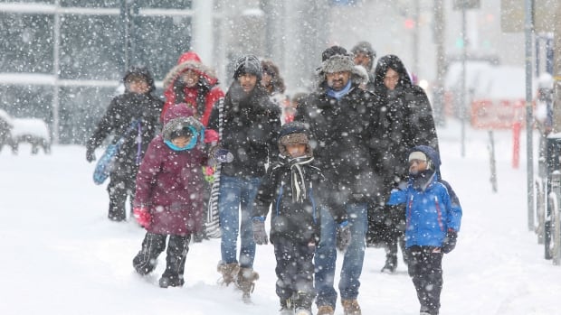
Toronto weather warning as 'Super Bowl storm' arrives: **posted for the J's!
Warnings
12:14 PM EST Sunday 01 February 2015Winter storm warning in effect for:
- City of Toronto
A developing winter storm over Missouri is tracking towards Southern Ontario. Snow associated with this storm has already begun across southwestern Ontario and will spread eastward today reaching the Greater Toronto Area by early evening. The snow will continue into Monday morning.
For areas south of a line from Sarnia towards Hamilton, total snowfall amounts of 20 to 30 cm are likely, with the highest amounts near the Great Lakes. North of this line from Huron - Perth towards the Greater Toronto Area, total amounts will likely be near 15 cm.
Over all regions, winds will strengthen and become gusty this afternoon and evening, reducing visibilities to 0.5 km or less in blowing snow. The combination of snow and blowing snow will make for hazardous travelling conditions. These persistent winds will generate wind chill values of near minus 25 tonight and into Monday.
The worst conditions are generally expected tonight.
 |
| City of Toronto site! |


Have a great week everyone! God bless and be safe out there!

No comments:
Post a Comment